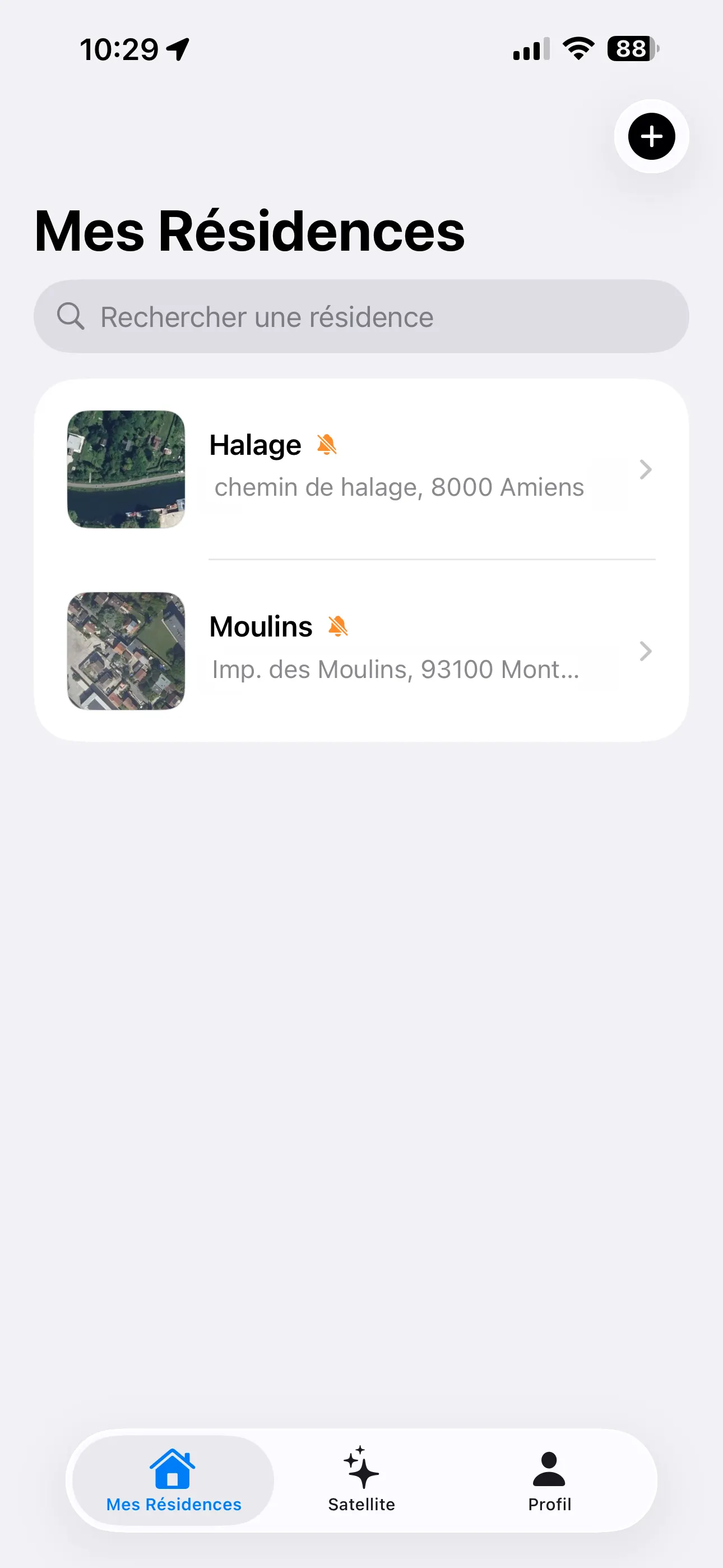
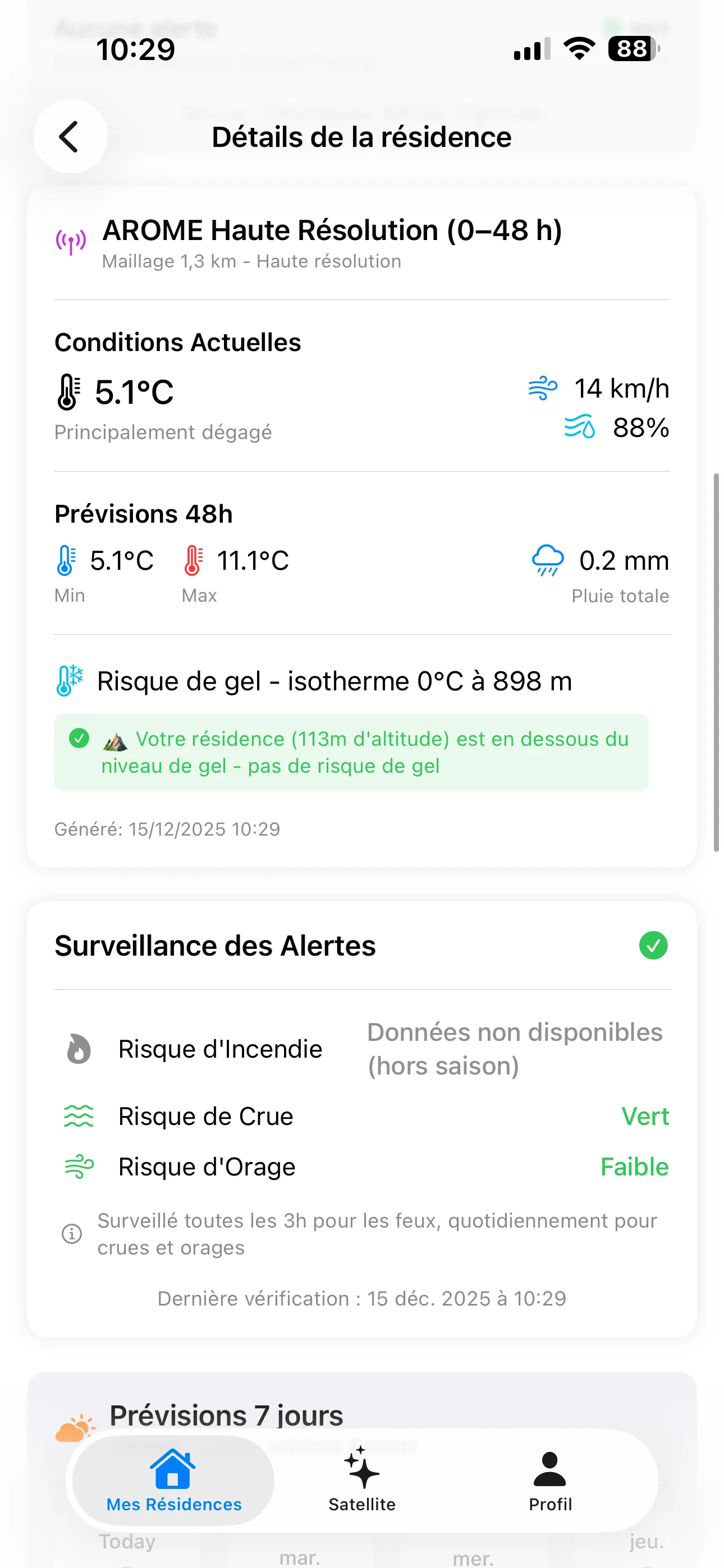
Space Nestor combines satellite images and weather alerts to help you identify properties that may be affected. Use them to plan site checks and give local teams the information they need.
We’re looking for hotel groups and insurers to run pilots with us
International resort groupsHoliday villages & multi-site operatorsInsurers & loss adjusters
01 / Who it’s for
An alert comes in. What needs checking?
Resorts & hospitality
Which sites need attention today?
When you manage hotels across several countries, it can be hard to tell which ones an event may affect. Bring alerts and images together so headquarters and local teams can plan their checks.
Find sites that may be affected
See which buildings, access roads and essential infrastructure lie in the affected area.
Decide where to send your teams
Give site managers a list of properties and access routes to check first.
Keep a record of the response
Keep observations, inspection findings and follow-up tasks together so teams can see what has been checked and what remains.
For risk managers, technical teams, asset managers and regional operations.
Designed for groups managing hotels, resorts or holiday villages across several locations.
After a flood, identify insured properties in the affected area and compare the available images. Help claims teams decide which cases need an adjuster’s attention first.
Locate exposed properties
Compare the affected area with your insured properties to find cases that need a closer look.
Compare images before and after
Review available images with their dates and sources, including any gaps or details that are too small to assess.
Choose which claims to inspect first
Check the proposed inspection order against past claims and adjuster findings to see whether it picks up the most serious cases.
For catastrophe claims teams, claims managers, exposure analysts and loss adjusters.
We work with your team to choose the sites and the question to test. Then we agree which data to use, who will review it and how you want to receive the findings.
01
Choose the sites
Choose a region, a set of properties and their key access routes. For a first pilot, we suggest checking flood exposure and inspection priorities after an event.
02
Gather alerts and images
Collect the relevant alerts and available satellite images. Check their dates and flag missing data or unclear observations.
03
Review the findings
Use AI to help analyse the images, with a person reviewing the findings before proposing site checks or other follow-up work.
04
Share with your team
Choose reports or CSV files that your teams can use. If you need a connection to an existing system, we agree that work as part of the pilot.
03 / The images behind the findings
See what the images show.
The Space Nestor app already brings property locations, satellite images and hazard information together. We’re now working with pilot partners to make this useful for teams managing many sites.
Dated, sourced observations
Each observation includes its date, source and an explanation of what is visible.
Extra images when needed
If another image could help answer an open question, we agree the area and budget with you before ordering it.
Know what an image can tell you
A property in a flood zone may not be damaged. What we can assess depends on when images were taken, their resolution and the area they cover.
Screens from the current Space Nestor app. Tools for managing multiple sites are being developed with pilot partners.
Planned feature
A dashboard in your browser.
We’re planning a web dashboard for teams managing multiple properties. It would bring your sites, alerts and satellite images into one place, with a shared list of checks and follow-up tasks. We’ll develop it with pilot partners; it isn’t available yet.
04 / Pilot projects
Try it on a small group of properties.
We’re developing these services with hotel groups and insurers. Before starting, we agree the sites, data access, imagery budget and how we’ll measure whether the pilot has helped.
Resort & property operators
Site checks after a flood
Suggested scope: 15–40 sites over 6–8 weeks.
Look back at a past flood and review current alerts for the selected sites.
Agree which sites to check, who will check them and how to track follow-up work.
Track review time, how quickly alerts are acknowledged and which tasks get done.
We agree the price before the pilot starts, including data licences, analyst time and a limit on imagery spending.
Common questions
Can we cover properties in several countries?+
Yes, a pilot can include sites in several countries. Before agreeing the scope, we check which alerts and images are available in each region, when images can be taken and what their licences allow.
Is this a replacement for inspections or emergency procedures?+
No. Space Nestor helps teams decide what to check and review the available images. Local teams and adjusters make the decisions. They still need to follow official warnings, emergency procedures and on-site assessments.
What is available today?+
The mobile app exists today. The services for hotel groups and insurers are at the pilot stage. Dashboards for multiple sites, team tools and connections to your systems need to be agreed and developed as part of a pilot.
Will there be a browser dashboard?+
Yes, it is planned. We want teams to be able to review their properties, alerts and images from a browser and keep track of site checks together. We’ll define the details with pilot partners. There is no release date yet.
How do we start?+
Email us with your sector, the countries and number of sites you manage, and a recent event you’d like to review. We’ll discuss a pilot and agree what would make it useful for your team.
Have sites you’d like to test?
Tell us where they are and what was difficult to assess after the last flood.